Falitérkép fémléccel Magyarország közigazgatása 100 x 70 cm

Leírás
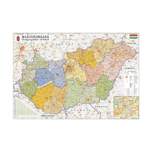
A térkép tartalma: minden magyarországi település és fontosabb településrész, naprakész úthálózat és a tervezett autópályák (M8, M9…stb), vasúthálózat, kikötők, repülőterek, ipari parkok, közigazgatás (megyei bontás, régiós színezéssel), járások határai és járási székhelyek jelölése, járások listája a térkép alatt megyei bontásban, megyénként ABC sorrendben. Budapest melléktérkép (itt a járások megegyeznek a kerületi beosztással), többnyelvű jelmagyarázat – külföldieknek is.
Gyártó/első EU forgalmazó elérhetősége:
Stiefel Magyarország Térképkiadó, Vizuáltechnikai és Taneszközkereskedelmi Korlátolt Felelősségű Társaság
H-2645 Nagyoroszi, Bajcsy-Zsilinszky út 30.
https://stiefel.hu/kapcsolat/
Jellemzők
Mennyiségi egység: DB
Csomagolás: 1 DB