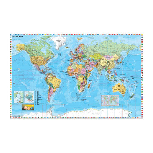
Falitérkép fémléces A Föld országai zászlókkal 140 x 100 cm

Leírás
Nagyméretű, angol nyelvű falitérkép. Melléktérképek: a Föld időzónái, a sarkvidékek, a Naprendszer. Dekoratív fémléccel, egyoldali, írható-letörölhető fóliabevonattal. 140x100cm
Gyártó/első EU forgalmazó elérhetősége:
Stiefel Magyarország Térképkiadó, Vizuáltechnikai és Taneszközkereskedelmi Korlátolt Felelősségű Társaság
H-2645 Nagyoroszi, Bajcsy-Zsilinszky út 30.
https://stiefel.hu/kapcsolat/
Jellemzők
Mennyiségi egység: DB
Csomagolás: 1 DB
Kapcsolódó termékek

Falitérkép fémléccel Magyarország közigazgatási térképe különleges színezéssel 100 x 70 cm
44944
Falitérkép fémléccel Magyarország közigazgatási térképe különleges színezéssel 100 x 70 cm
Falitérkép fémléccel Magyarország közigazgatási térképe különleges színezéssel 100 x 70 cm

Falitérkép fémléccel Európa országai 100 x 70 cm
44950
Falitérkép fémléccel Európa országai 100 x 70 cm
Falitérkép fémléccel Európa országai 100 x 70 cm

Falitérkép fémléccel Magyarország autótérképe 100 x 70 cm
44949
Falitérkép fémléccel Magyarország autótérképe 100 x 70 cm
Falitérkép fémléccel Magyarország autótérképe 100 x 70 cm

Falitérkép fémléccel A Föld országai 100 x 70 cm
44951
Falitérkép fémléccel A Föld országai 100 x 70 cm
Falitérkép fémléccel A Föld országai 100 x 70 cm
Helyettesítő termékek

Falitérkép fémléces Európa autótérképe 140 x 100 cm
44945
Falitérkép fémléces Európa autótérképe 140 x 100 cm
Falitérkép fémléces Európa autótérképe 140 x 100 cm

Falitérkép fémléces Magyarország autótérképe 140 x 100 cm
44947
Falitérkép fémléces Magyarország autótérképe 140 x 100 cm
Falitérkép fémléces Magyarország autótérképe 140 x 100 cm

Falitérkép fémléces Budapest térkép 140 x 100 cm
44948
Falitérkép fémléces Budapest térkép 140 x 100 cm
Falitérkép fémléces Budapest térkép 140 x 100 cm