Szúrkatábla fémkerettel Magyarország közigazgatása és közlekedése 140 x 100 cm

Leírás
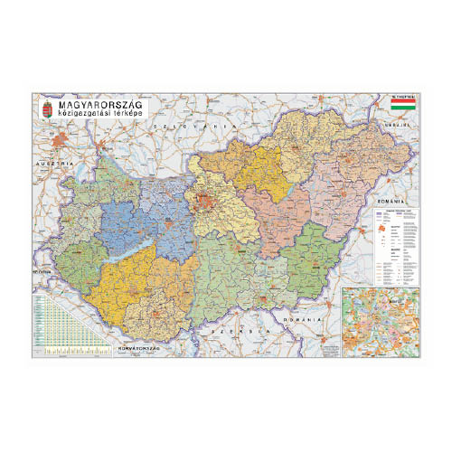
Magyarország közigazgatása és közlekedési térképe, 140 x 100 cm. Magyarország járástérképe alapvető információforrásként szolgál közhivatalokban, közintézményekben, iskolákban és cégek számára is.
Gyártó/első EU forgalmazó elérhetősége:
Stiefel Magyarország Térképkiadó, Vizuáltechnikai és Taneszközkereskedelmi Korlátolt Felelősségű Társaság
H-2645 Nagyoroszi, Bajcsy-Zsilinszky út 30.
https://stiefel.hu/kapcsolat/
Jellemzők
Mennyiségi egység: DB
Csomagolás: 1 DB
Kapcsolódó termékek

Szúrkatábla fémkerettel Budapest térképe 140 x 100 cm
44797
Szúrkatábla fémkerettel Budapest térképe 140 x 100 cm
Szúrkatábla fémkerettel Budapest térképe 140 x 100 cm

Szúrkatábla fémkerettel A Föld országai zászlókkal 140 x 100 cm
44931
Szúrkatábla fémkerettel A Föld országai zászlókkal 140 x 100 cm
Szúrkatábla fémkerettel A Föld országai zászlókkal 140 x 100 cm

Szúrkatábla fémkerettel Európa országai és az Európai Unió térképe 140 x 100 cm
49197
Szúrkatábla fémkerettel Európa országai és az Európai Unió térképe 140 x 100 cm
Szúrkatábla fémkerettel Európa országai és az Európai Unió térképe 140 x 100 cm